


BBSA
Honorary Master
- Joined
- Jul 11, 2005
- Messages
- 30,230
- Reaction score
- 28,806
- Location
- People's Republic of South Africa
South Africa’s biggest forum. Discuss, discover, and connect with thousands of members.



/file/dailymaverick/wp-content/uploads/2022/01/Ethan-mozCyclone.jpg)
 www.dailymaverick.co.za
![trajectoire[05_20220216_1000].png](https://mybroadband.co.za/forum/data/attachments/1184/1184610-9b1ee1355e6166fcf7e2180dc374a463.jpg?hash=mx7hNV5hZv "trajectoire[05_20220216_1000].png")

 www.theguardian.com
![trajectoire[Emnati_20220219_1000].png](https://mybroadband.co.za/forum/data/attachments/1187/1187670-4c0d07f72f0b6c224d92d26c9dc5031a.jpg?hash=TA0H9y8LbC "trajectoire[Emnati_20220219_1000].png")

![trajectoire[Emnati_20220222_1000].png](https://mybroadband.co.za/forum/data/attachments/1190/1190960-2525fcd1c140363dbf035ae5bb8dca30.jpg?hash=JSX80cFANj "trajectoire[Emnati_20220222_1000].png")


 www.bbc.com
![trajectoire[Halima_20220325_1000].png](https://mybroadband.co.za/forum/data/attachments/1216/1216310-a690ace52b223ed5f699a65f1a80d708.jpg?hash=ppCs5SsiPt "trajectoire[Halima_20220325_1000].png")

Subtropical Depression Issa[edit]
See also: 2022 KwaZulu-Natal floods
Subtropical depression (MFR) Subtropical storm (SSHWS) 
Duration 12 April – Present Peak intensity 95 km/h (60 mph) (10-min) 994 hPa (mbar)
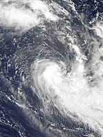
On 11 April, a low pressure area evolved near the southeast coast of South Africa from the interaction of an upper-level trough and warmer air near the surface. With warm ocean temperatures and low wind shear, the low developed intense thunderstorms which wrapped around a tight circulation, and dropped heavy rainfall in eastern South Africa. On 12 April, the MFR designated the low as Subtropical Depression Issa, based on the system's structure and the presence of gale-force winds. Issa moved slowly to the south at first,[108] strengthening to reach 10 minute winds of 95 km/h (60 mph) late on April 12. At its peak, the storm had an eye-like feature in the middle of a symmetrical area of thunderstorms.[109] On 13 April, the JTWC classified this system as a "subtropical storm" in an unofficial bulletin.[110] Issa turned to the north back toward the South African coast due to the trough in the region.[111] Increased wind shear and dry air stripped away the thunderstorms near the center, weakening the storm, and causing the MFR to discontinue advisories on April 13.[112]
Floods in South Africa killed 259 people.[113][114]
![trajectoire[20220423_1000].png](https://mybroadband.co.za/forum/data/attachments/1236/1236326-26c99347ea16b8d9b7e7cd63d8c33388.jpg?hash=JsmTR-oWuN "trajectoire[20220423_1000].png")
 www.bbc.com
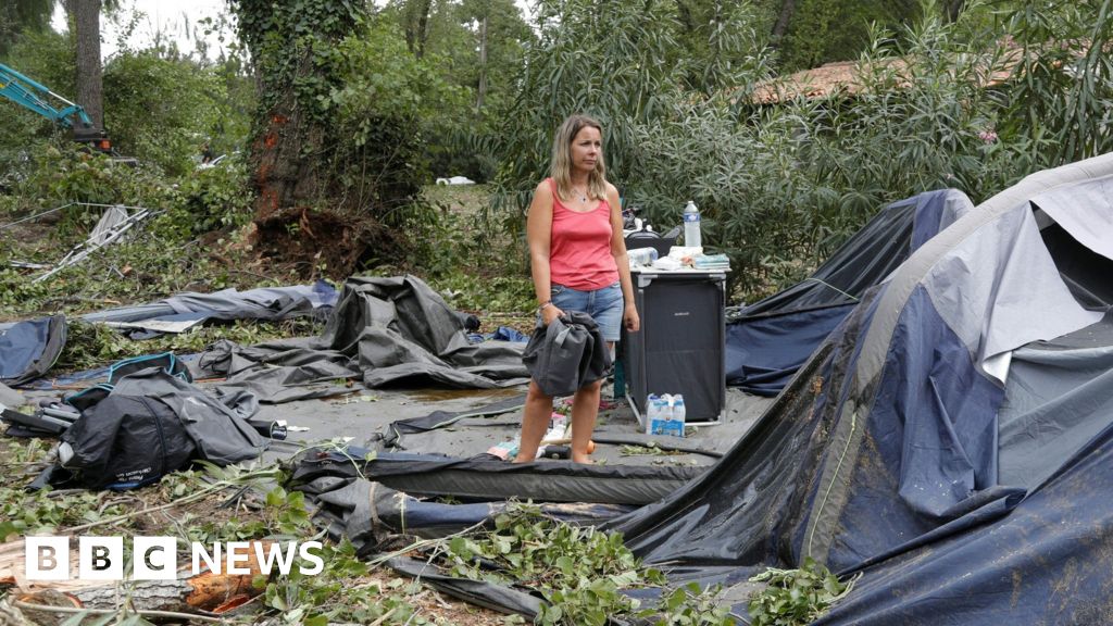
Officers in the city of Paderborn said the tornado ripped off roofs and debris was strewn around for kilometres.
Ten people have serious injuries and one woman's life is in danger, they said.
BBC Weather presenter Chris Fawkes said that Germany usually experiences several tornadoes a year, but most are short-lived and do not cause significant damage.
He said the number of tornadoes reported in Europe has been increasing in recent years, but this is largely thought to be a result of better forecasting and more awareness - and includes the advent of social media reports.


 www.bbc.com
 www.bbc.com
 www.bbc.com
Typhoon Muifa will be the 12th cyclone to hit mainland China this year, and authorities expect it to be the most powerful so far.
Dozens of flights had already been postponed as coastal areas battened down in anticipation of the storm.
Landfall is expected around 19:00 local time (11:00 GMT) on Wednesday.
Waves up to five metres high (16 feet) are expected near Shanghai, China's biggest city and the country's financial hub.
State TV has also warned that "extraordinarily heavy rain is expected" overnight across the densely populated eastern seaboard.
Temporary evacuation centres have been set up in some areas of Shanghai and an emergency evacuation zone has been set up in an area spanning out over 30 kilometres (18 miles) outside the city.
 www.bbc.com
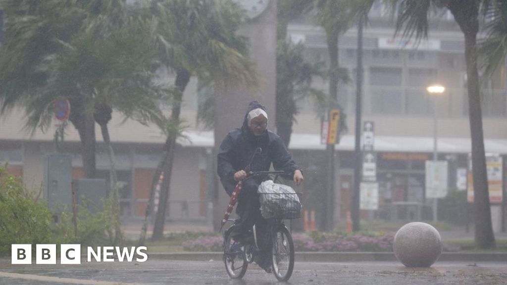
Typhoon Nanmadol is expected to make landfall on Kyushu island on Sunday.
Winds could reach 270km/h (168mph) and some areas could experience 500mm (20 inches) of rainfall in just 24 hours.
A "special alert" is in force for Kyushu, with warnings of landslides and flooding. Train services and flights have been cancelled.
Kyushu is the southernmost of the four islands that make up the main body of Japan and has a population of over 13 million people.
Once the typhoon makes landfall, it is expected to turn north-east and move up through central Japan towards Tokyo.
It is also expected to maintain much of its strength even after making landfall.
An official from Japan's meteorological agency told reporters on Saturday: "There are risks of unprecedented storms, high waves, storm surges, and record rainfall."

