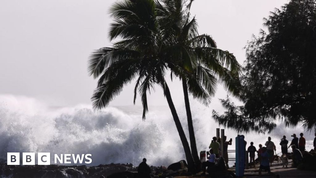
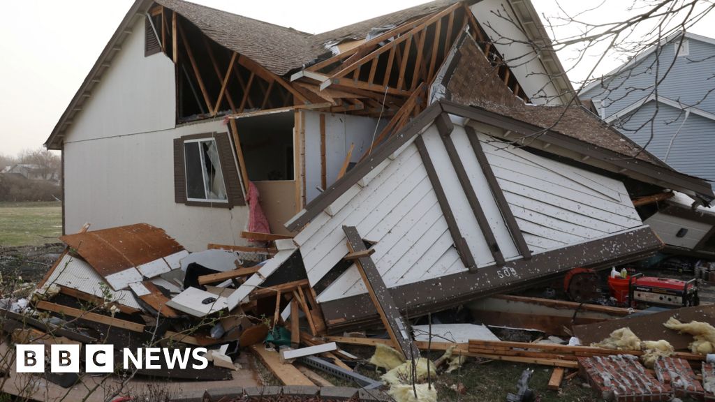
The Tornadoes, Cyclones, Hurricanes & Typhoons Thread.

 
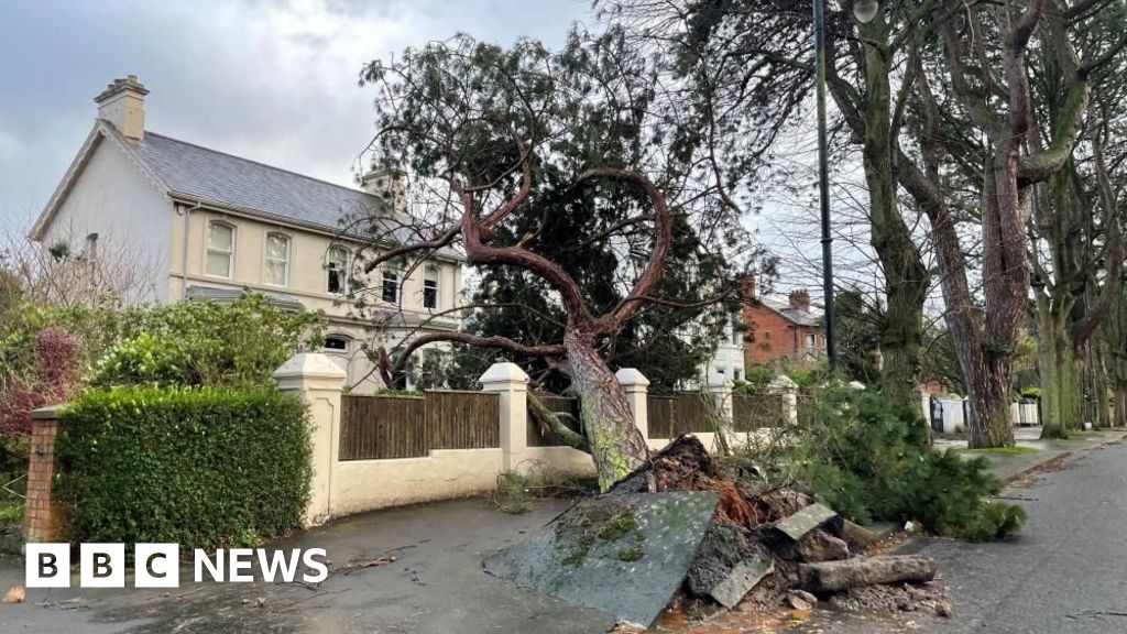
Not a tropical storm, but a severe winter cyclone passing over Ireland and northern parts of the UK:
In Ireland, a gust of 114mph (183km/h) was recorded at Mace Head in County Galway. This makes it the strongest recorded gust of wind in the country.
Storm Éowyn - pronounced AY-oh-win - has been caused by powerful jet stream winds pushing low pressure towards the UK and Ireland over the Atlantic Ocean - after a recent cold spell over North America.

While crossing the Atlantic, Storm Éowyn underwent a process known as "explosive cyclogenesis" – sometimes called a "weather bomb".

This term is used to describe an area of low pressure that deepens by at least 24 millibars in 24 hours. Storm Éowyn deepened by 50 millibars in 24 hours.
 
Mid-latitude storms travel from west to east, so the storm in the UK followed on after the cold and snow in Florida. They are connected, but not in the order you suggested.
Can you explain the snow in Florida? Is this the polar vortex shifting like when Texas had their big freeze?
 
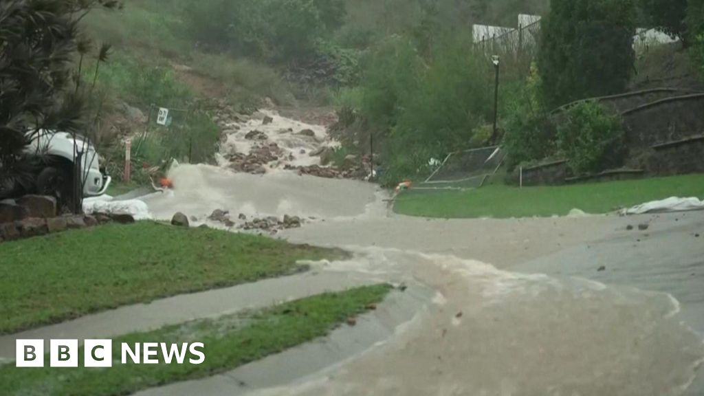
A persistent tropical depression (not a storm) is producing extremely heavy rains in part of Australia:
More than 1,000mm (39in) of rain has fallen on parts of north-east Queensland since Friday with "record rainfalls" set to continue into Monday, according to Queensland State Premier David Crisafulli.
 
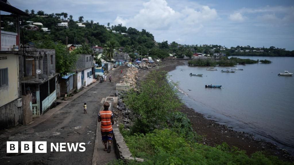
Direct hit on Reunion caused significant casualties:
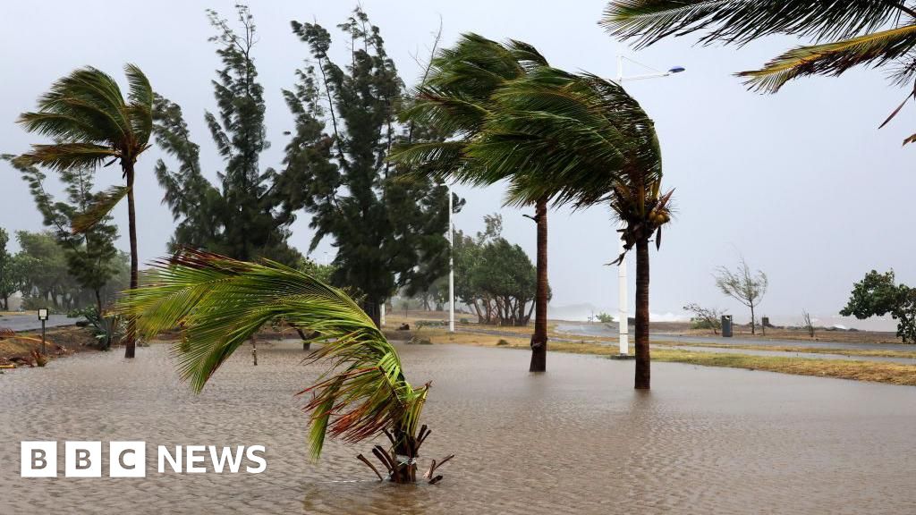
Three people have died in Reunion after Cyclone Garance swept through the French Indian Ocean territory with gusts of up to 234km/h (145mph).

The tropical cyclone left more than 180,000 homes without power and 170,000 without running water after making landfall on Friday morning.
 
Weakening tropical cyclone Alfred is heading towards Brisbane, and could cause significant flooding:
As well as strong winds, Cyclone Alfred is expected to dump as much as 800mm of rain in the coming days, affecting a large area of southern Queensland and northern New South Wales. Flash and riverine flooding is the biggest concern in low-lying areas.
 
Not a tropical storm, but rather a polar vortex:
Wind gusts of up to 93mph (150 kph) - the strongest in the Chinese capital for more than half a century - are set to continue through the weekend, forcing the closure of attractions and historic sites.
Train services including the airport's express subway line and some high-speed rail lines have been suspended. Parks were also shut, with some old trees reinforced or trimmed in preparation but almost 300 trees have already fallen over in the capital.

A number of vehicles were damaged but no injuries were reported - in Beijing most residents followed authorities' advice to stay indoors after the city warned 22 million residents to avoid non-essential travel.
The strong winds are coming from a cold vortex system over Mongolia and are expected to last through the weekend.

Beijing issued its first orange alert for strong winds in a decade with the strongest winds expected on Saturday.

China measures wind speed with a scale that goes from level 1 to 17. A level 11 wind, according to the China Meteorological Administration, can cause "serious damage", while a level 12 wind brings "extreme destruction".

The winds this weekend are expected to range from level 11 to 13, with conditions expected to ease by Sunday.
 
Top
Sign up to the MyBroadband newsletter
X