


genetic
Honorary Master
Good - get your rains, but keep your cold temperatures there - I don't want it anywhere near GP
GP doesn't get our rains or temperatures in winter.
You guys are p*es cold and dry. The Western Cape has neither.

South Africa’s biggest forum. Discuss, discover, and connect with thousands of members.
Good - get your rains, but keep your cold temperatures there - I don't want it anywhere near GP
GP doesn't get our rains or temperatures in winter.
You guys are p*es cold and dry. The Western Cape has neither.
it was those damn fronts a few weeks ago that dropped us I would like to run in temperatures not below 15 this week

I've been loving the warm weather lately
The high pressure needs to keep its ridge nicely over the FS to keep that incoming cold air away from me
View attachment 869815
![gfs_africa_084_1000_500_thick[20200707_1800_84Z_crop].gif](https://mybroadband.co.za/forum/data/attachments/809/809133-3f726ed948f743be8918409090460698.jpg?hash=P3Ju2Uj3Q7 "gfs_africa_084_1000_500_thick[20200707_1800_84Z_crop].gif")
![southafricasnownext3to6days[20200708_0000-11_0000].jpg](https://mybroadband.co.za/forum/data/attachments/809/809423-9424c12183e81761b74218351178d4ff.jpg?hash=lCTBIYPoF2 "southafricasnownext3to6days[20200708_0000-11_0000].jpg")


Yip, was drizzling and soft rain for a good few hours this am, Table Mountain side this am...i was not expecting rain today
got soaked proper this morning 9am over Sir Lowries Pass all the way from Grabouw on my bike
It was clear skies at the dam when i left this morning

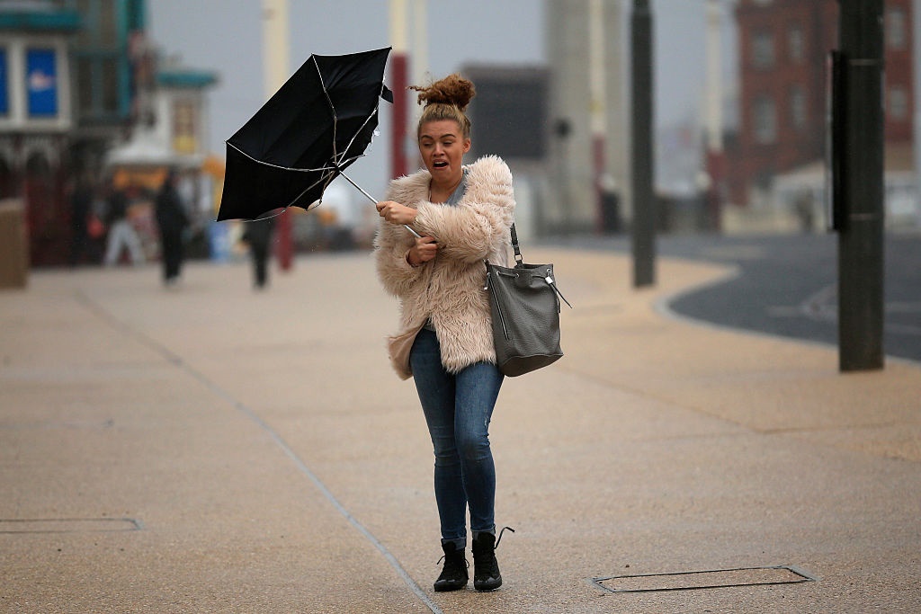
 www.news24.com


Cool. Morning run at the forest all to myself.Looks like we're in for a deluge or two this coming Thursday and Friday.
Strange, not raining in Wellington.Raining here in Paarl. Great news. Tired of wearing shorts.


A Friday storm?
Pretty safe prediction, all the macro indications are in place. The preceding small front did not attract much attention from anyone. Not even SAWS seemed to take it too seriously, yet it is currently dumping quite a bit of water on the CT area.SAWS update on the coming storm:
Special weather alert: Snow, heavy rain and strong winds to lash Western and Northern Cape | News24
The Western Cape and parts of the Northern Cape are set to be battered by heavy rains, gusting winds and a possible dusting of snow, the South African Weather Service says.
Please note that this is a warning, not a prediction, since the models are still uncertain. Don't come whining if the wind speeds don't live up to your expectations!
![mslp_6h_totp_090[20200710_1800_crop].gif](https://mybroadband.co.za/forum/data/attachments/810/810277-0a9e9c893c7ba34d83047aed9851a143.jpg?hash=Cp6ciTx7o0 "mslp_6h_totp_090[20200710_1800_crop].gif")


